Clear, 74° F
Statewide snowpack is at 97% of median. There were some minor increases as well as small decreases in the snow water equivalent (SWE) across individual Wyoming basins last week. The Laramie watershed …
This item is available in full to subscribers.
The Powell Tribune has expanded its online content. To continue reading, you will need to either log in to your subscriber account, or purchase a subscription.
If you are a current print subscriber, you can set up a free web account by clicking here.
If you already have a web account, but need to reset it, you can do so by clicking here.
If you would like to purchase a subscription click here.
Please log in to continue |
|
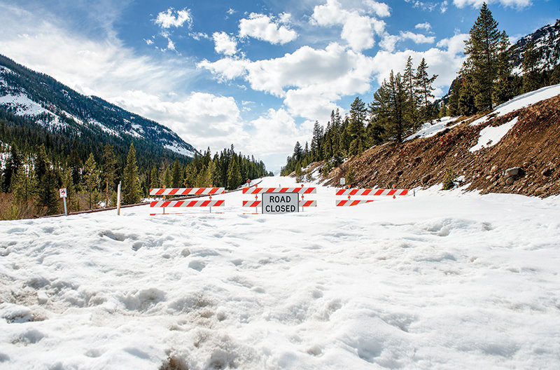
Statewide snowpack is at 97% of median. There were some minor increases as well as small decreases in the snow water equivalent (SWE) across individual Wyoming basins last week. The Laramie watershed topped the state’s SWE with 115% of median, while 72% of median along the Belle Fourche Basin was the state low.
Nearby, the Yellowstone drainage is at 105% of median, down 1% from the prior week and also down from 113% of median from the same date one year ago.
The Shoshone River Basin is at 99%, down from 102% last week and also down from 107% from one year ago. The Bighorn River Basin is at 103%, up from 100% last week, but down from 121% a year ago.
Other basins showing increases are the Madison, at 95%; Powder at 117%; Tongue at 104%; Lower North Platte at 113%; and the South Platte at 78% up from 73%. Those showing decreases are the Snake at 94%; Wind at 88%; Belle Fourche at 72%; Cheyenne at 73%; Sweetwater at 75%; Little Snake at 99%; Upper Green at 88%; and Lower Green at 99%. Upper Bear, Laramie and Upper North Platte remain unchanged.
All mountain areas across Wyoming are expected to see light to moderate snow amounts this week.


