Cloudy, 26° F
A meeting on the Bighorn River Blueway Trail in Lovell last week marked the beginning of renewed attempts to market the Big Horn Basin’s recreational opportunities and provide visitors and …
This item is available in full to subscribers.
The Powell Tribune has expanded its online content. To continue reading, you will need to either log in to your subscriber account, or purchase a subscription.
If you are a current print subscriber, you can set up a free web account by clicking here.
If you already have a web account, but need to reset it, you can do so by clicking here.
If you would like to purchase a subscription click here.
Please log in to continue |
|


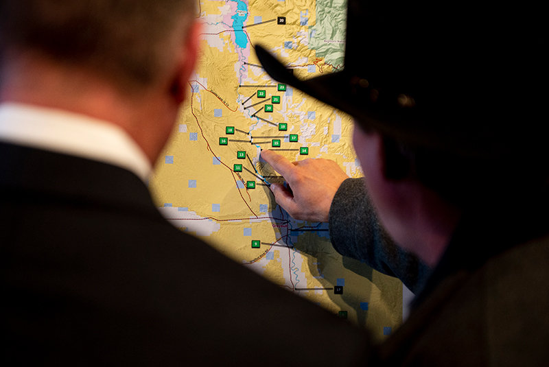
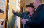


A meeting on the Bighorn River Blueway Trail in Lovell last week marked the beginning of renewed attempts to market the Big Horn Basin’s recreational opportunities and provide visitors and residents a reason to extend their time in the area.
From the Wedding of the Waters on the northern end of the Wind River Canyon, the Bighorn River saunters north through the developed areas of Thermopolis and Worland. From there, the river becomes increasingly remote as it travels through privately owned agricultural areas near Manderson, Basin and Greybull.
Once the peaceful river passes Greybull, it becomes isolated in a rugged landscape until arriving at the Bighorn Canyon National Recreation Area. The proposed new trail would run for about 95 river miles and offer fun for all ages and canoe and kayak abilities, according to officials.
Signage and educational posts would help recreationists find access points, campgrounds and regulations for use of the river. Work would also be done to make portages easier and to clear boat-stopping log jams and deadfall. A sanctioned trail would make travel on the river more convenient and safer for those seeking adventure, said Christy Fleming, chief of interpretation for Bighorn Canyon and member of the Bighorn Basin Outdoor Recreation Coalition. However, she wants to make it clear the trail would not displace those using powered boats.
The Blueway project has been around for decades, but previously struggled to find its footing.
“This project was started in the late 80s or early 90s. And for whatever reason, it just kind of died,” Fleming said.
But now there’s fresh interest in river trails — spawned in the resurgence of activities in the great outdoors during pandemic-inspired lockdowns. Boating is an important segment of those rediscovering the great outdoors and the Bighorn River is an important tributary, filled with diverse game fish species and surrounded by natural beauty for those hitting the water.
It’s important to make the Basin attractive to residents and tourists, said Lovell City Administrator Jeb Nebel. Part of that effort includes creating recreational opportunities, he said.
Lovell has had significant investment recently, including new lodging options, and Nebel said “now is the time” to ensure folks aren’t simply passing through.
“People are coming through this area like it’s a floodway. We need to dam it up … and keep them here to help grow our community,” Nebel told the crowd at the Bighorn Canyon Visitors Center, adding, “If we don’t create outdoor recreation opportunities for people coming through here and for our citizens, I feel like we’re setting ourselves up for failure.”
He also fears that, without a variety of recreational options, the town will continue to lose its young residents.
“Getting our youth to come back to the area is huge,” he said. “If we don’t provide opportunities and recreation like this, they are not going to come back; plain and simple.”
The National Park Service, which manages Bighorn Canyon, has offered to help and has loaned a river trail expert and outdoor recreation planner to assist local, state and federal officials and resident volunteers to complete the Blueway project. Attila Bality — “Just call me Hun,” he joked after his introduction — is with the Rivers, Trails, and Conservation Assistance program, which is overseen by the Park Service.
Bality has years of experience dealing with issues to help develop successful projects, including federal funding and grants to help develop the project. But he pointed out that developing a federally designated river trail doesn’t mean it will be run by the feds —the project would retain local control, he said.
The key to making it successful is education, Bality said. “The public wants to know, can I go down that section of river? Can my kids go safely down that section of river? Where can I stop along the river? When can I go? When is the water level right?”
When access is defined and folks start falling in love with the resource, there will be more people willing to protect it, he promised. “When they have increased recreation access, that means eventually more people will have stewardship beliefs, caring about the river resource in their own communities,” he said. “We’ve seen this.”
One example is the Cuyahoga River, in Ohio.
“In the 80s it was on fire. Now it’s a water trail. It’s fabulous — people paddling on what used to be this toxic hellhole of a river. All because the community got engaged,” Bality said.
The project isn’t without challenges. While many modern voyagers are seeking solace on rarely traveled trails, residents in the area point out there are few ways to reach the banks of the river at its northern-most section. Even more rare are cell signals, should boaters need emergency assistance.
Mark Johnson, a rancher on the river between Lovell and Greybull, said there are obstacles boaters will face along the way through the northern section.
“I’ve been stuck more than once in deadfall,” he said. “It’ll get your eyes puckered up trying to get out of those, because you have to go against the current.”
Johnson is also a chemist specializing in water treatment and owns Snow Crest Chemicals. He’s concerned about the safety of boaters swimming in the river near agricultural runoff, mostly from cattle operations.
Big Horn County Search and Rescue member Tim Beck added that, despite the river lacking severe challenges like class 5 or 6 rapids as it wends through the county, boaters can still find themselves in danger and unable to use a cellphone to call for help.
“We get a lot of wind that can change river conditions to be severe and unsafe,” he said. “And the problem is those people are many miles from assistance.”
Bality replied to concerns brought up at the meeting, including trespassing issues, saying meetings would be held with emergency response groups before making plans final and the group could work on presentations and signage to warn boaters of hazards on the river.
The Blueway group is dividing the 95-mile stretch into four distinct sections. It’s possible restrictions could be made to avoid issues with trespassing, agricultural runoff and communications and that sections could be opened prior to the trail being fully sanctioned.
Currently the group is trying to find community members and residents who are passionate about the resource to assist with the work needed to make the project a reality.
“If it’s just the BLM, the Park Service, and conservation districts supporting [the plan], it won’t go anywhere,” Bality said. “We’ve just got to have that community support.”
For more information, call the Bighorn Canyon Visitor Center at 307-548-5406 or visit www.facebook.com/bighornriverbluewaytrail.


