Mostly Clear, 47° F
While it caused some concern for growers and disrupted the state golf and regional tennis tournaments in Powell, the rain brought the region much closer to normal precipitation for the year.
The storm, which meteorologist Chris Jones of the …
This item is available in full to subscribers.
The Powell Tribune has expanded its online content. To continue reading, you will need to either log in to your subscriber account, or purchase a subscription.
If you are a current print subscriber, you can set up a free web account by clicking here.
If you already have a web account, but need to reset it, you can do so by clicking here.
If you would like to purchase a subscription click here.
Please log in to continue |
|
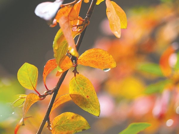
A rainstorm over Friday and the weekend dropped 0.9 to 1.25 inches of rain on Powell and larger amounts in the surrounding area.
While it caused some concern for growers and disrupted the state golf and regional tennis tournaments in Powell, the rain brought the region much closer to normal precipitation for the year.
The storm, which meteorologist Chris Jones of the National Weather Service called a 72-hour rain, was felt the most in this area on Friday and Saturday. But the entire system remained over the western half of Wyoming from Wednesday night through Saturday, Jones said.
“The state was divided in half,” he said. “If you’re in the west part of the state, almost everyone got at least 1 inch of rain.”
Ironically, the foothills got the least amount of rain because of the way the storm tracked. A low pressure system moved from southeastern Idaho to northeast Wyoming, then wrapped around to the north and west, Jones said.
The heavier-than-usual amounts of precipitation were due in part to the large amount of moisture available, he said.
That moisture came from two sources: the Pacific Ocean and moisture moving north from a decaying tropical system south of the state.
“That provided 200 to 300 percent of the normal moisture available to use,” though how much of that ends up as precipitation depends on several other factors, Jones said.
In addition, the storm sat over western Wyoming for three days, giving more time for rain to fall.
“Most of it came on the wrap-around,” he said.
Jeremiah Vardiman, University of Wyoming Extension educator in Powell, said the heavy rain paused the harvest for sugar beets, beans and silage corn.
“It delayed the harvest of all crops that are still left to be harvested,” he said.
The rain is “a bit of a concern” for beans that are down in windrows, as they could fade or water soak.
“It will impact a little bit of the quality of the beans, but they’re still harvestable,” he said. “It’s not a great impact, but it’s still something we don’t want.”
“The good news,” Jones said, “is that we haven’t seen a hard freeze, and we won’t see it for at least another week. ... Hopefully that moisture will remain in the ground until next spring. That could make a good start to next spring.”
But Vardiman noted it also could delay some of the field work farmers traditionally do in the fall.
“But we’ve still got some fall left to see what happens, and things are on track, so that’s not a bad thing.”
A three-day rainstorm brought the total precipitation in Powell and surrounding areas to near-normal for the year.


